Checkpoint 0: High Altitude Adventures rendezvous
Checkpoint 1: Lake San Cristobal Dam Parking Area
Checkpoint 2: CR 30 OHV Staging Area
Checkpoint 3: CR 35 Trailhead (Checkpoint to ensure the group stays to the left.)
Checkpoint 4: Cuba Gulch Trailhead
Points of Interest: Sherman Townsite
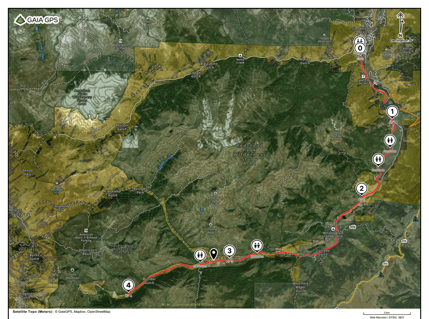
Checkpoint 0: High Altitude Adventures rendezvous
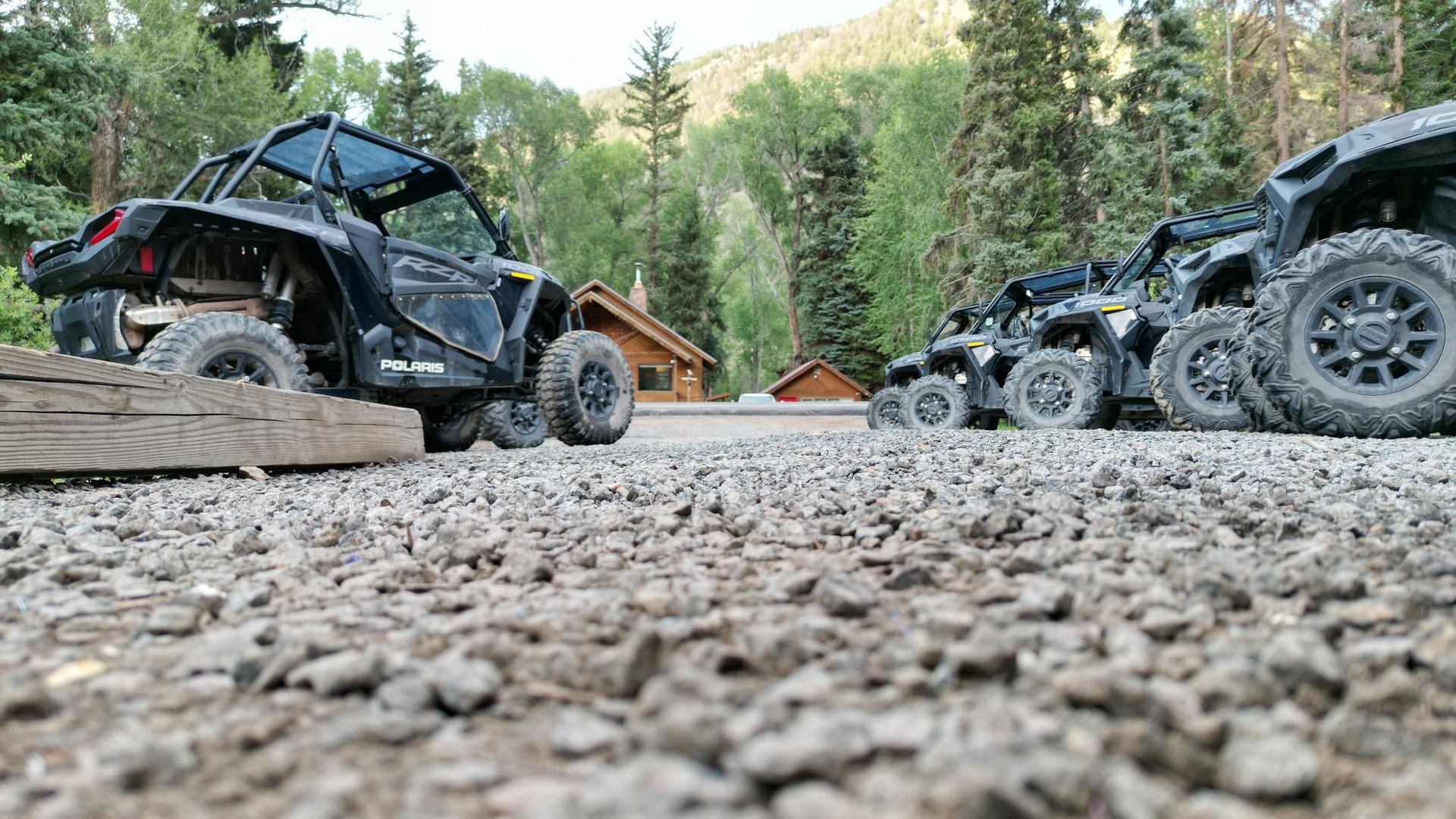
High Altitude Adventures has been in operation since the summer of 2016, it is veteran-owned and veteran operated with deep family roots in Hinsdale County. We have built a customer base that is interested in using our always newest model Polaris RZRs to reach a trailhead to summit one of our 5 fourteeners in the area, explore the rich mining history dating back to as early as 1871, or reach breathtaking views only accessible by a high-clearance reliable 4x4 vehicle. With over 116 5-star google reviews we show that we care about customer satisfaction, safety, and our machines.
Checkpoint 1: Lake San Cristobal Dam Parking Area
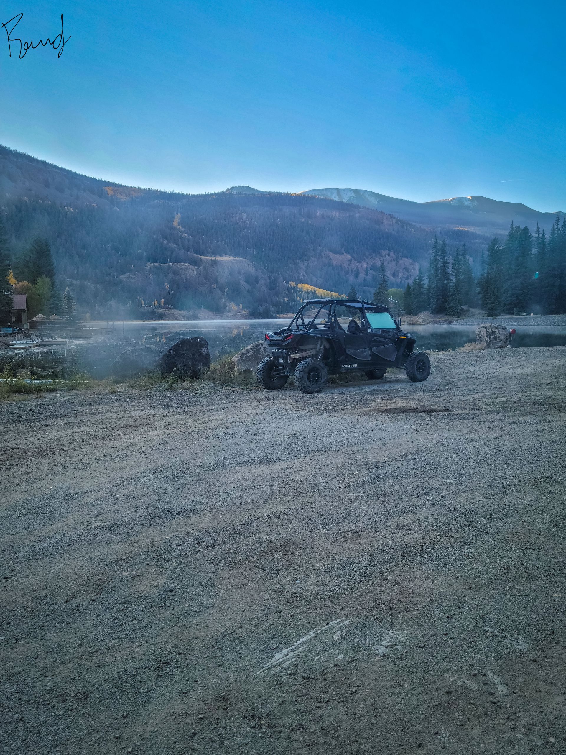
Lake San Cristobal is a natural lake located near the town of Lake City in Hinsdale County, Colorado. It is situated at an elevation of 9,003 feet (2,744 meters) and has a surface area of approximately 350 acres (141 hectares).
Checkpoint 2: CR 30 OHV Staging Area
CR 30 OHV staging area offers riders the opportunity to switch drivers, hydrate and take a short break.
Checkpoint 3: CR 35 Trailhead
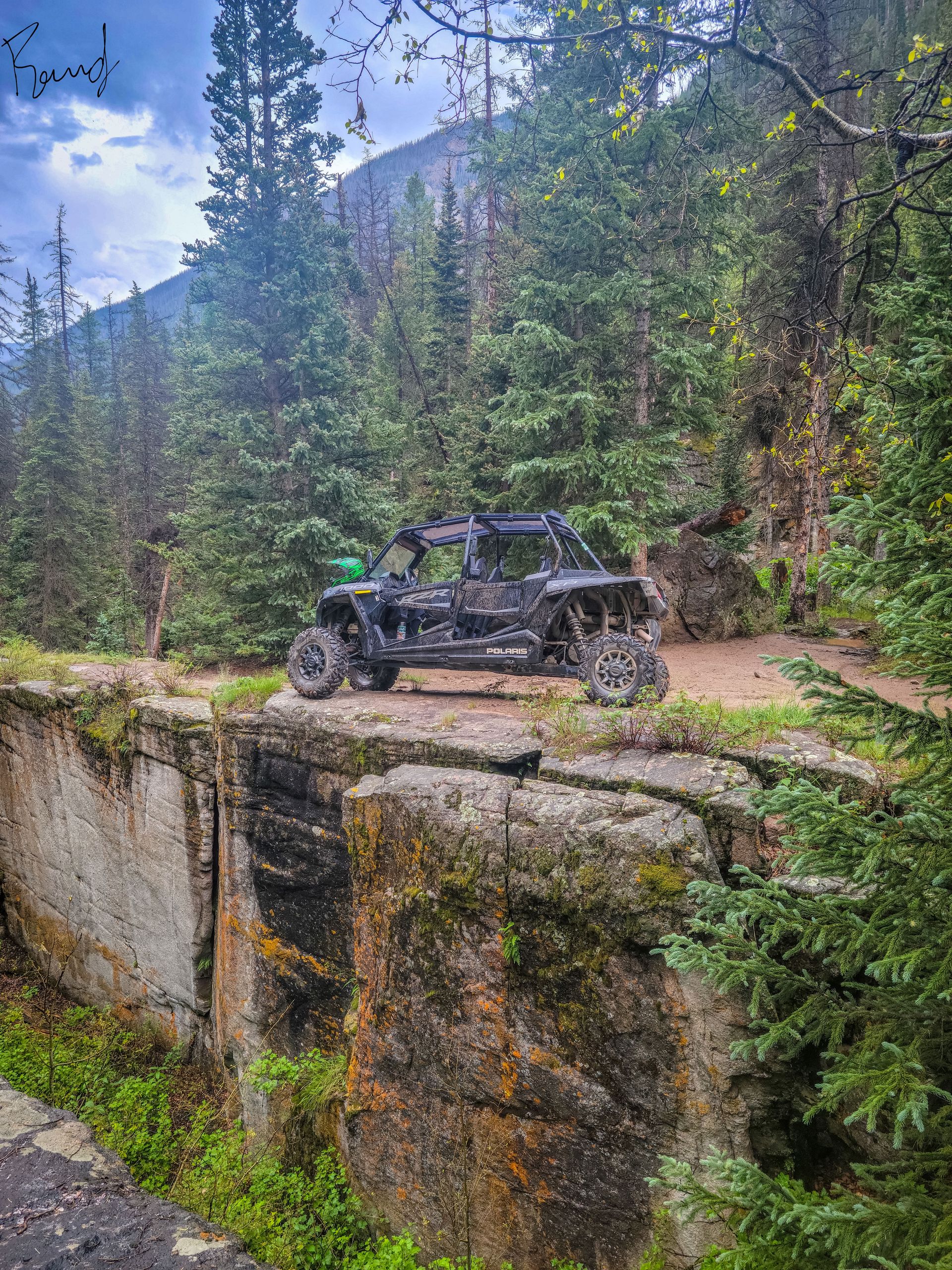
Water can cut through a rock through a process known as erosion. Erosion is the process by which natural forces such as wind, water, and ice gradually wear away the surface of the Earth.
When water flows over rocks, it can dissolve minerals and other materials, making the rock more susceptible to erosion. The force of the water can also physically wear away at the rock, gradually carving channels or canyons. Over time, water can create deep gorges, canyons, and even waterfalls as it continuously erodes the rock.
One way that water can erode rock is through hydraulic action. Hydraulic action occurs when the force of the water against the rock causes small cracks or crevices to form. Over time, the water can widen these cracks and break off small pieces of rock, eventually carving channels or canyons.
Another way that water can erode rock is through abrasion. Abrasion occurs when small rocks, sand, and other debris carried by the water rub against the surface of the rock, gradually wearing it away over time. This process can create smooth, polished surfaces on rocks, such as those found in riverbeds or along coastlines.
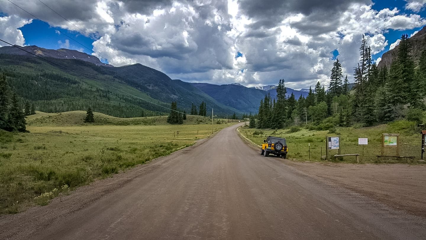
Checkpoint 4: Cuba Gulch Trailhead
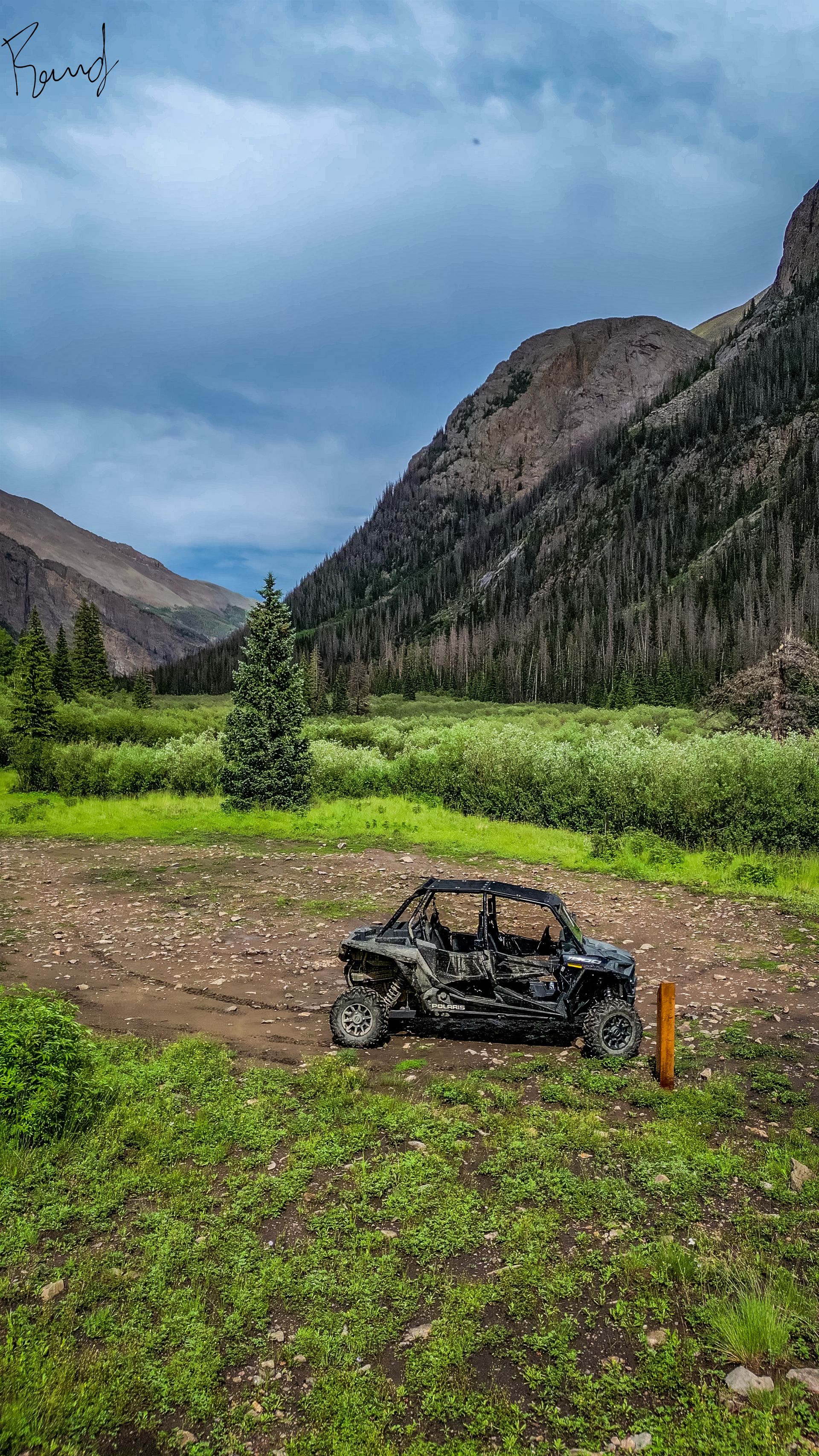
Cuba Gulch Trailhead is a popular hiking and backpacking starting point located in Hinsdale County, Colorado, USA. The trailhead is situated in the San Juan Mountains, approximately 6 miles southwest of Lake City, Colorado.
The Cuba Gulch Trailhead is known for its scenic beauty and diverse landscape, which includes aspen groves, meadows, and rocky terrain. The trail is primarily used for hiking, backpacking, and nature trips and is best used from May until October.
The trailhead provides access to several trails, including the Cuba Gulch Trail, which is a 5.2-mile out-and-back trail that features beautiful wildflowers, and scenic views, and is rated as moderate in difficulty. Other nearby trails include the Alpine Gulch Trail, the Stewart Creek Trail, and the Cataract Creek Trail, all of which are popular among hikers and backpackers.